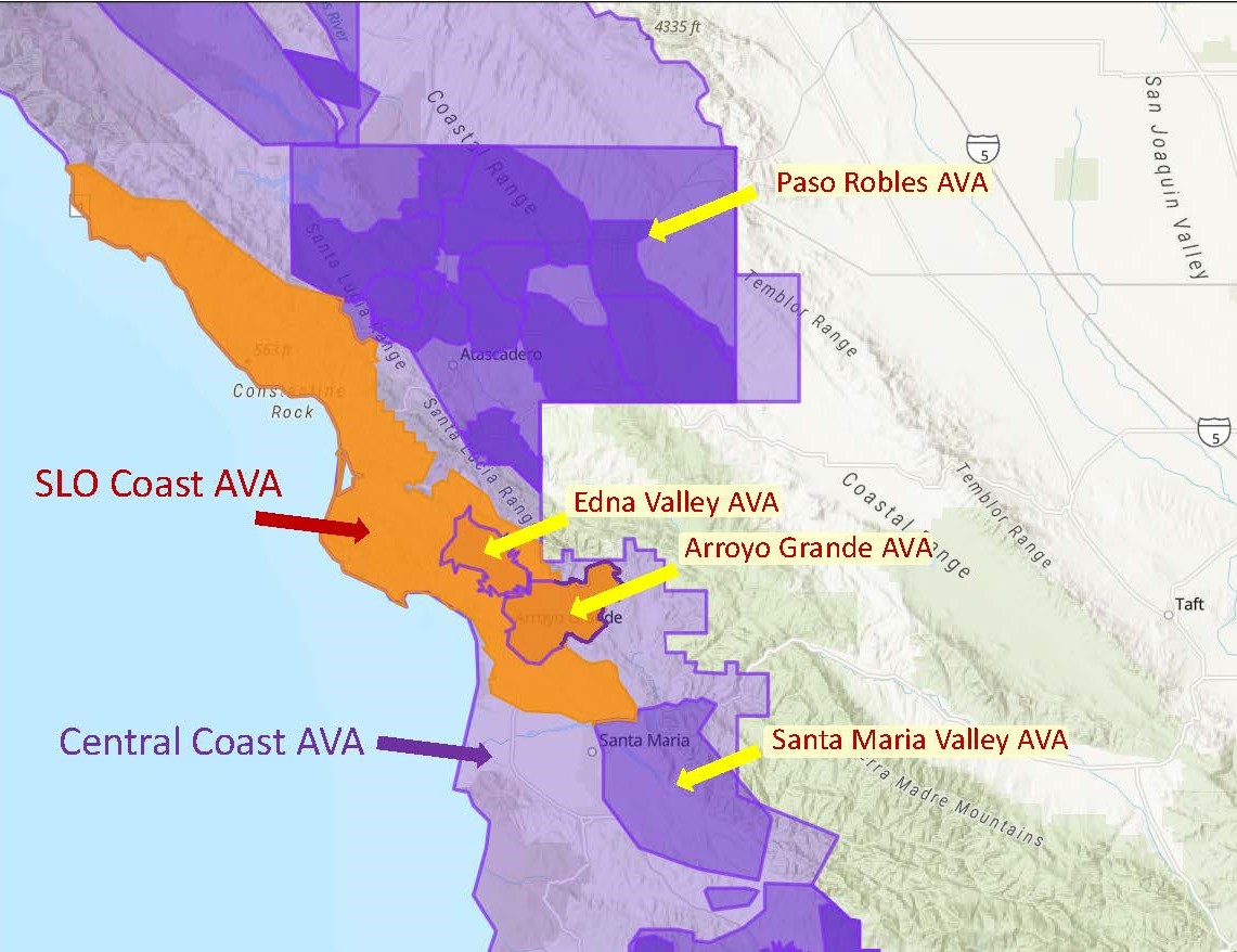
Base map via the TTB/AVA Explorer
On March 8 (2022) the TTB (Alcohol and Tobacco Tax and Trade Bureau) of the United States announced the approval of the San Luis Obispo Coast (SLO Coast) American Viticultural Area (AVA). The newly minted AVA is located within San Luis Obispo County (California) and is a sub-appellation of the larger California Central Coast AVA. Two existing AVAs—the Edna Valley and the Arroyo Grande Valley AVA lie completely within the San Luis Obispo Coast AVA.
Two names—San Luis Obispo Coast and SLO Coast—have been approved for the region, and either may be used.
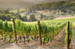
The SLO Coast AVA covers a total of 480,585-acres, stretching over 60 miles/115 km of Pacific Coastline from Ragged Point to just beyond Grover Beach. The area includes the coastal communities of San Simeon, Cambria, and Morro Bay.
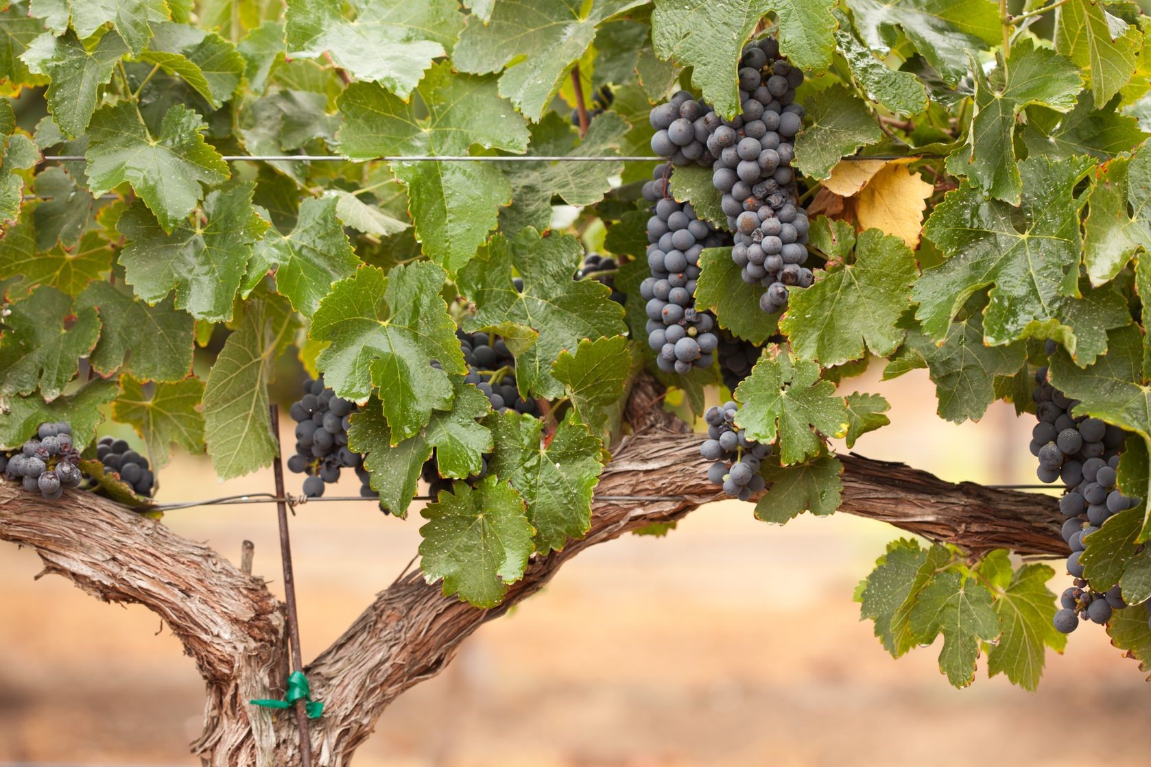
The AVA currently contains over 78 commercial vineyards planted to just over 5,000 acres/2,025 hectares of vines. Chardonnay (43%) and Pinot Noir (35%) are the leading grape varieties of the area, followed by smaller plantings of Syrah, Sauvignon Blanc, and Cabernet Sauvignon (among others). There are over 50 wineries located in the SLO Coast AVA.
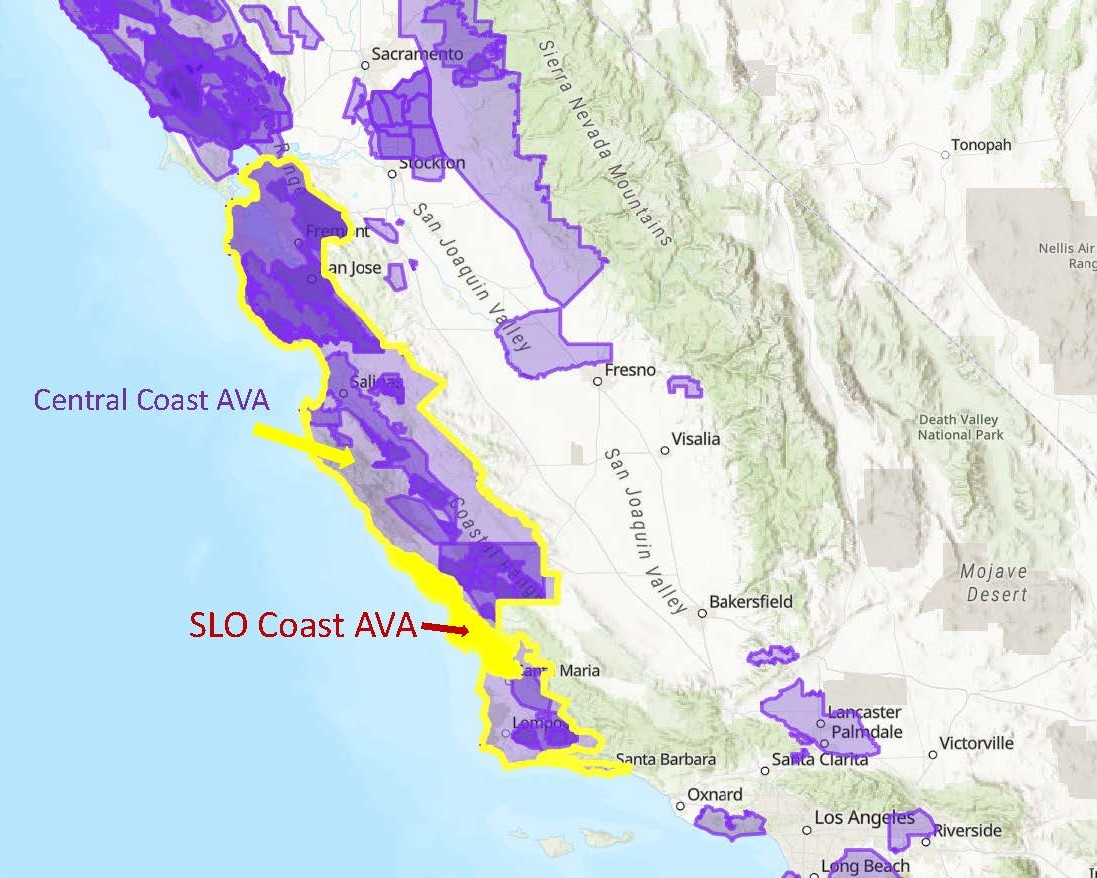
Base map via the TTB/AVA Explorer
According to the original petition to establish the AVA—originally submitted to the TTB in July of 2017 by the members of the SLO Wine Collective—the distinguishing features of the SLO Coast AVA are its topography, climate, and soils, as described below.
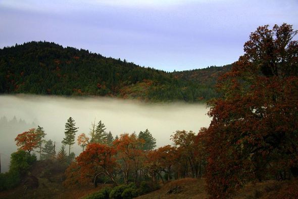
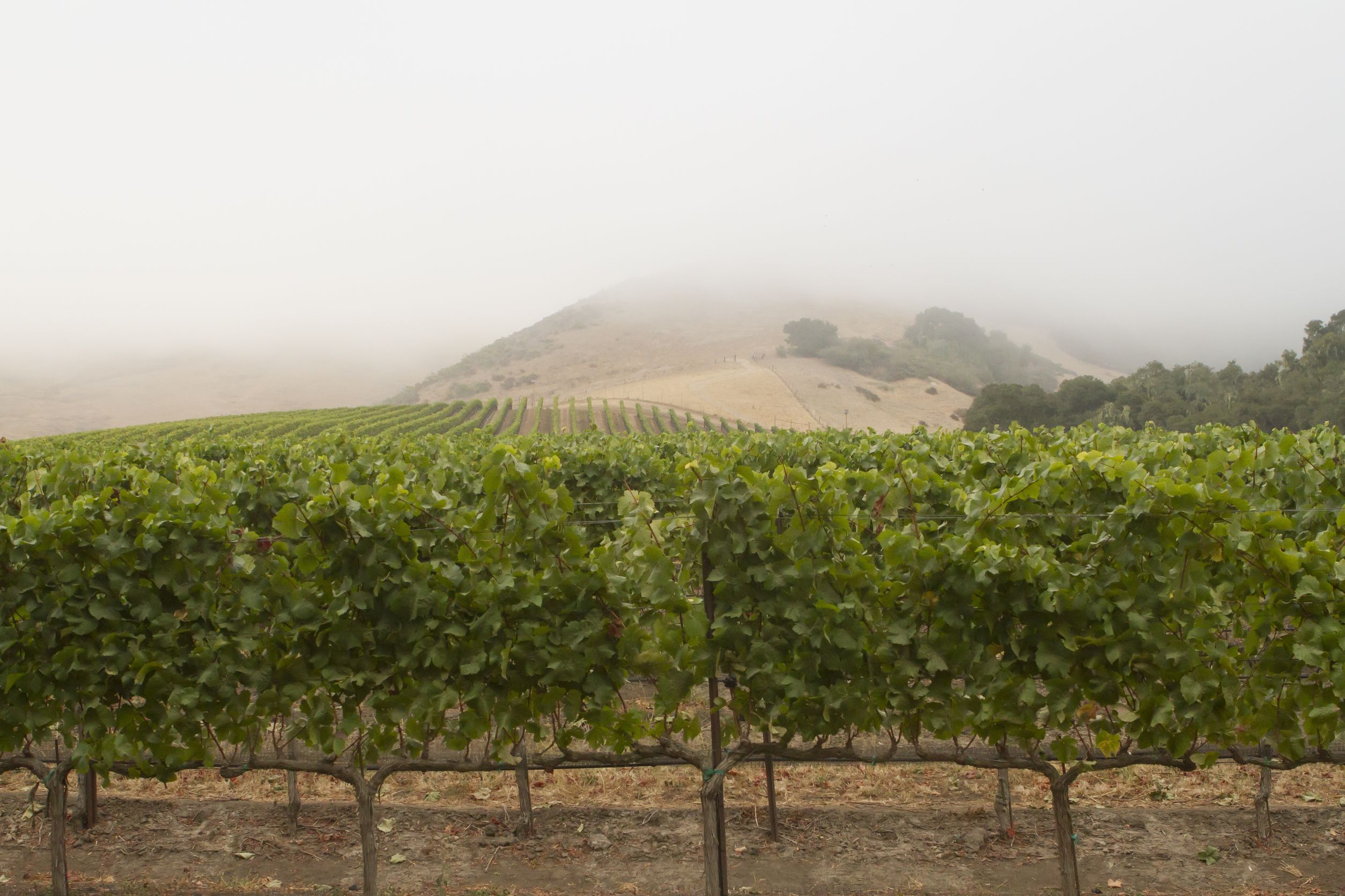
Topography: The SLO Coast AVA consists of low-lying coastal terraces, foothills, and small valleys along the Pacific Coast. Most of the area—as much as 97% of the region—is at or below 1,800 feet/548 meters in elevation. The eastern edge of the area is marked by Santa Lucia Mountain Range, marking the cooler, coastal-influenced land within the AVA with the warmer area on the inland side of the mountains.
Climate: As would be expected of an area directly along the Pacific Coast, the SLO Coast AVA has an overall cool, maritime climate. The average growing degree day (GDD) temperature accumulation is 2,493—establishing the area as Region I according to the Winkler Scale. Average temperatures for the growing season are between 47.5° and 52° Fahrenheit (8.6° to 11°C). More significantly, the average maximum temperature during the growing season hovers between 70° and 78°F (21° to 25.5°C). Fog cover is often present (at night and in the morning) during the growing season.
Soils: Four basic soil types are present in the region. The soils covering most of the area in the northern stretches of the AVA consist of weathered sedimentary soils, including a degree of sandstone and shale. Further to the south, the soils are derived mainly from marine deposits and include sand and loam. A small section located on the inland side of the appellation contains volcanic soils. A narrow stretch of the coastline itself is comprised mainly of wind deposits and sand dunes and is considered unsuitable for viticulture.
When the SLO Coast AVA comes into force on April 8 (2022), the total number of AVAs in the United States will be 261. Of these, 143 will be in California.
Welcome to the world, San Luis Obispo Coast/SLO Coast AVA!
References/for more information:
- Petition to Establish the SLO Coast AVA
- Federal Register-Establishment of the SLO Coast AVA
- https://slocoastwine.com/news/san-luis-obispo-coast-ava-whats-in-a-name/
- https://slocoastwine.com/
Post authored by Jane A. Nickles…your blog administrator: jnickles@societyofwineeducators.org