
Map via PasoWine.com
In a week of AVA-shuffling galore, the TTB announced today via the Federal Register that 11 new AVAS, all of them sub-regions of the Paso Robles AVA, have been approved. The AVAs will be “official” one month from today, on November 10th, 2014.
The petition for the 11 sub-regions was originally filed in 2007. The petition turned out to be the longest and most detailed proposal ever filed with the TTB, due to the scale of the proposal and the depth of the information need to support each individual AVA.
A close inspection of the climate data surrounding each new AVA shows the diversity of the region – average annual rainfall ranges from 11 to 29 inches, elevations range from 600 to 2,400 feet above sea level, and climate regions II to IV are represented.
The 11 new AVAs, all sub-appellations of the Paso Robles AVA, are as follows:
- El Pomar District – Climate Region II, 740-1,600 feet in elevation, average of 15 inches rainfall.
-
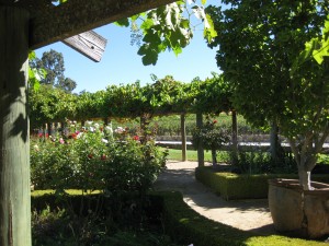
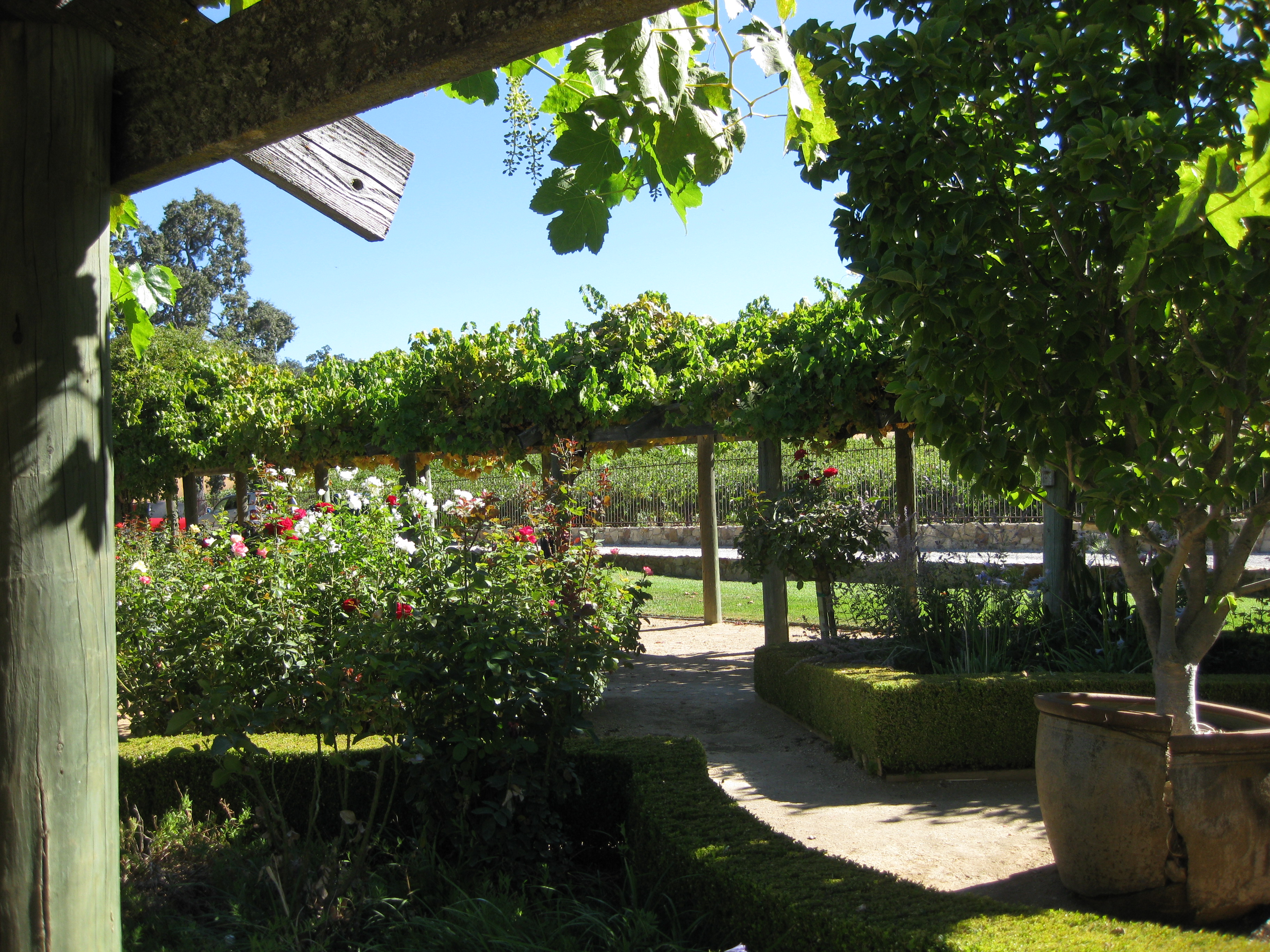
At the Justin Winery in Paso Robles
Paso Robles Willow Creek District – Climate Region II, 950 – 1,900 feet in elevation, average of 24-30 inches rainfall.
- Santa Margarita Ranch – Climate Region II, 900 – 1,400 feet in elevation, average of 29 inches rainfall.
- Templeton Gap District – Climate Region II, 700 – 1,800 feet in elevation, average of 20 inches rainfall.
- Adelaida District – Climate Region II-III, 900 – 2,200 feet in elevation, average of 26 inches rainfall.
- Creston District – Climate Region III, 1,100 – 2,000 feet in elevation, average of 11.5 inches of rainfall.
- Paso Robles Estrella District – Climate Region III, 745 – 1,800 feet in elevation, average of 14 inches of rainfall.
- San Miguel District – Climate Region III, 580 – 1,600 feet in elevation, average of 11 inches of rainfall.
- San Juan Creek – Climate Region III-IV, 980 – 1,600 feet in elevation, average of 10 inches of rainfall.
- Paso Robles Geneseo District – Climate Region III-IV, 740 – 1,300 feet in elevation, average of 13 inches of rainfall.
- Paso Robles Highlands District – Climate Region IV, 1,600 – 2,086 feet in elevation, average 12 inches of rainfall.
Map of Paso Robles and sub-appellations, climate data via PasoWine.com
Post authored by Jane A. Nickles, CSS, CWE – your SWE Blog Administrator