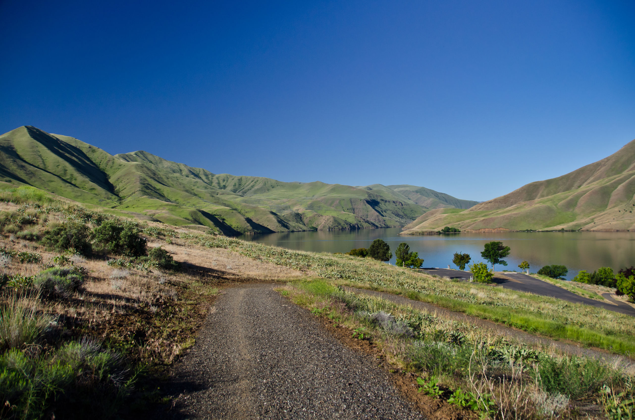
The Snake River in Idaho
Welcome to the World, Lewis-Clark Valley AVA!
This week the TTB approved a new AVA—the Lewis-Clark Valley AVA. The new American Viticultural Area will become official on May 20, 2016.
The Lewis-Clark AVA surrounds the area where the Clearwater River runs into the Snake River—before the Snake River meets the Columbia on its way to the Pacific Ocean. The new AVA, which overlaps Idaho and Washington State, covers portions of Nez Perce, Lewis, Clearwater, and Latah Counties in northern Idaho and Asotin, Garfield, and Whitman Counties in southeastern Washington. This is the third AVA for Idaho, and number 14 for Washington State.
The new AVA covers a total of 479 square miles (306,650 acres)—with about 72% located in Idaho and 28% in Washington State. At the present time, the area is home to three bonded wineries as well as 16 commercial vineyards with a total of 81 acres currently planted to vine, with 50 more acres planned in the next few years.
As part of the approval of this new AVA, the boundary of the 11,370,320-acre Columbia Valley AVA was amended and made smaller by approximately 57,020 acres. This move avoids any overlap of the Lewis-Clark Valley AVA with any other existing AVAs.
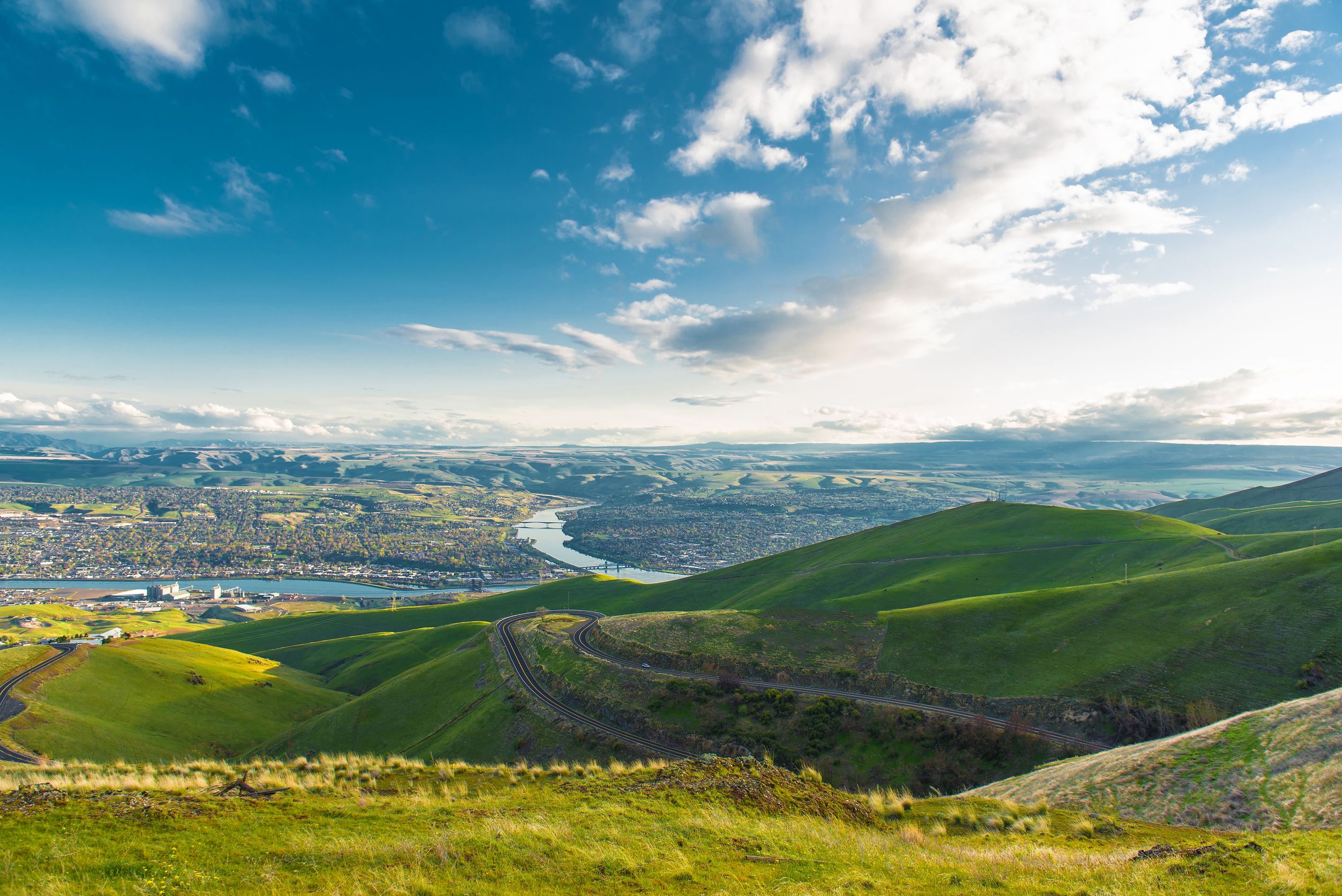
Clarkson, Washington (to the left) and Lewiston, Idaho (to the right)
The name of the AVA is derived from Lewiston, Idaho, and Clarkston, Washington—two towns that face each other across the Snake River within the boundaries of the region. These towns were named in honor of the famous explorers, Meriwether Lewis and William Clark, who traveled through this area in the early 1800s.
The topography of the new AVA consists mostly of canyon walls, low plateaus, and bench lands formed by the Snake and Clearwater Rivers. The boundaries of the AVA follow the 1,970 foot (600 meter) contour, with all of the area inside the AVA at an elevation of 1,970 feet or lower. The areas outside of the AVA are significantly cooler and include the Palouse High Prairie to the north, the heavily forested Bitterroot Mountains to the east, the Blue Mountains to the west, and the Craig Mountains (which include the protected area of the Hells Gate State Park) to the south.
There are over 80 different soil types in the area of the new AVA, however, the majority (over 95%) are Mollisols soils—defined as being comprised mainly of decomposed organic matter from the varieties of perennial grasses that grow along the banks of the rivers. The Mollisols soils are mixed with fine-grained, wind-blown particles known as loess soil. The area generally has a thin layer of topsoil due to year of river erosion; this thin layer of topsoil over the bedrock subsurface limits the possible depth of the vine’s roots, thus limiting fertility of the soil—which makes it ideal for wine grapes.

…
For more information, see the Lewis-Clark Valley AVA docket on the TTB website.
post authored by Jane A. Nickles…your blog administrator
Are you interested in being a guest blogger or a guest SWEbinar presenter for SWE? Click here for more information!