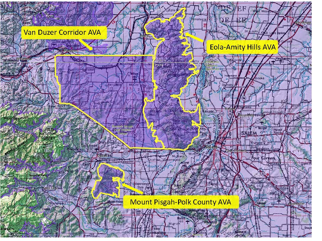
Map via the TTB AVA Explorer
On June 3 (2022) the TTB (Alcohol and Tobacco Tax and Trade Bureau) of the United States announced the approval of the Mount Pisgah-Polk County American Viticultural Area (AVA), located in Oregon. The newly minted AVA is located entirely within the existing Willamette Valley AVA and represents the 23rd AVA located in Oregon. With the approval of the new AVA, the Willamette Valley AVA now has 11 sub-appellations.
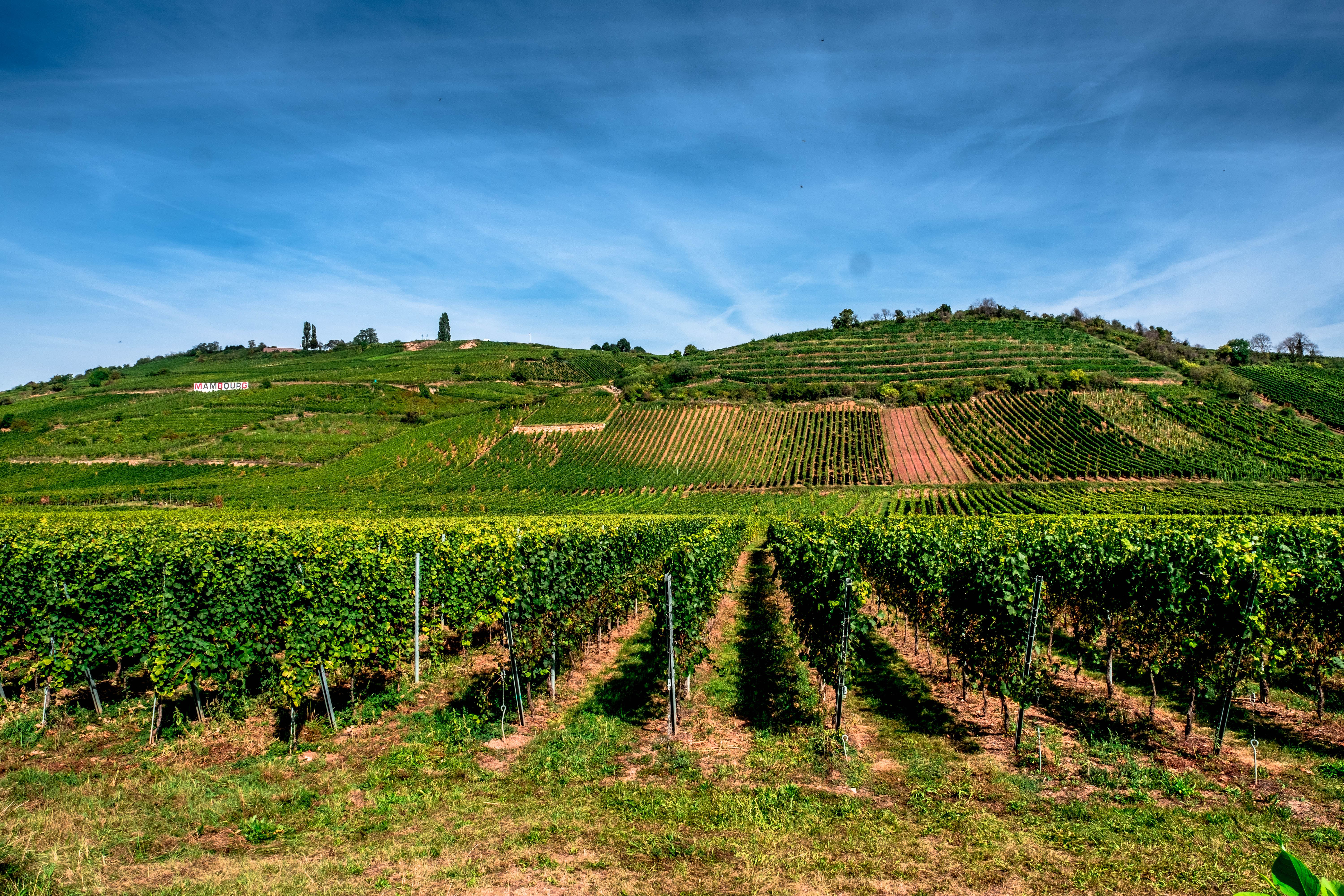
The Mount Pisgah-Polk County AVA covers a total of 5,850 acres surrounding the 835-foot summit of Mount Pisgah, located about 15 miles west of Salem (and just south of the town of Dallas, Oregon).
- According to the petition to establish the appellation—originally submitted in 2018—the distinguishing features of the Mount Pisgah-Polk County AVA include its topography, climate, and soils, as described below.
- Topography: The new AVA is located within a chain of small hills in the Willamette Valley area. Elevations range from 260 feet to 835 feet asl (at the peak of Mount Pisgah); the areas surrounding the Mount Pisgah-Polk County AVA are all at lower elevations.
- Climate: The Mount Pisgah-Polk County AVA is somewhat cooler than the surrounding valley floor. The average annual growing degree days (GDD) for Mount Pisgah total 2,543 GDD; the surrounding areas total 2,661 GDD (in the tow of McMinnville, to the south) and 2,903 GD (in the town of Salem, to the east).
- Soils: Like much of the surrounding area, the dominant soil of the Mount Pisgah-Polk County AVA is sedimentary in nature (to include sandstone and siltstone). While the remainder of the Willamette Valley AVA has a large percentage of soils derived from the Missoula Floods, in the new AVA only 2.1% of the area is so affected. Rather, due to the higher elevation of the area, the soils of the Mount Pisgah-Polk County AVA contain a high percentage of volcanic rocks that were part of an ancient seabed. These rocks are among the oldest rocks within the Willamette Valley, and the Mount Pisgah area is the only spot in the Willamette Valley that combines sedimentary soils with such ancient parent material.
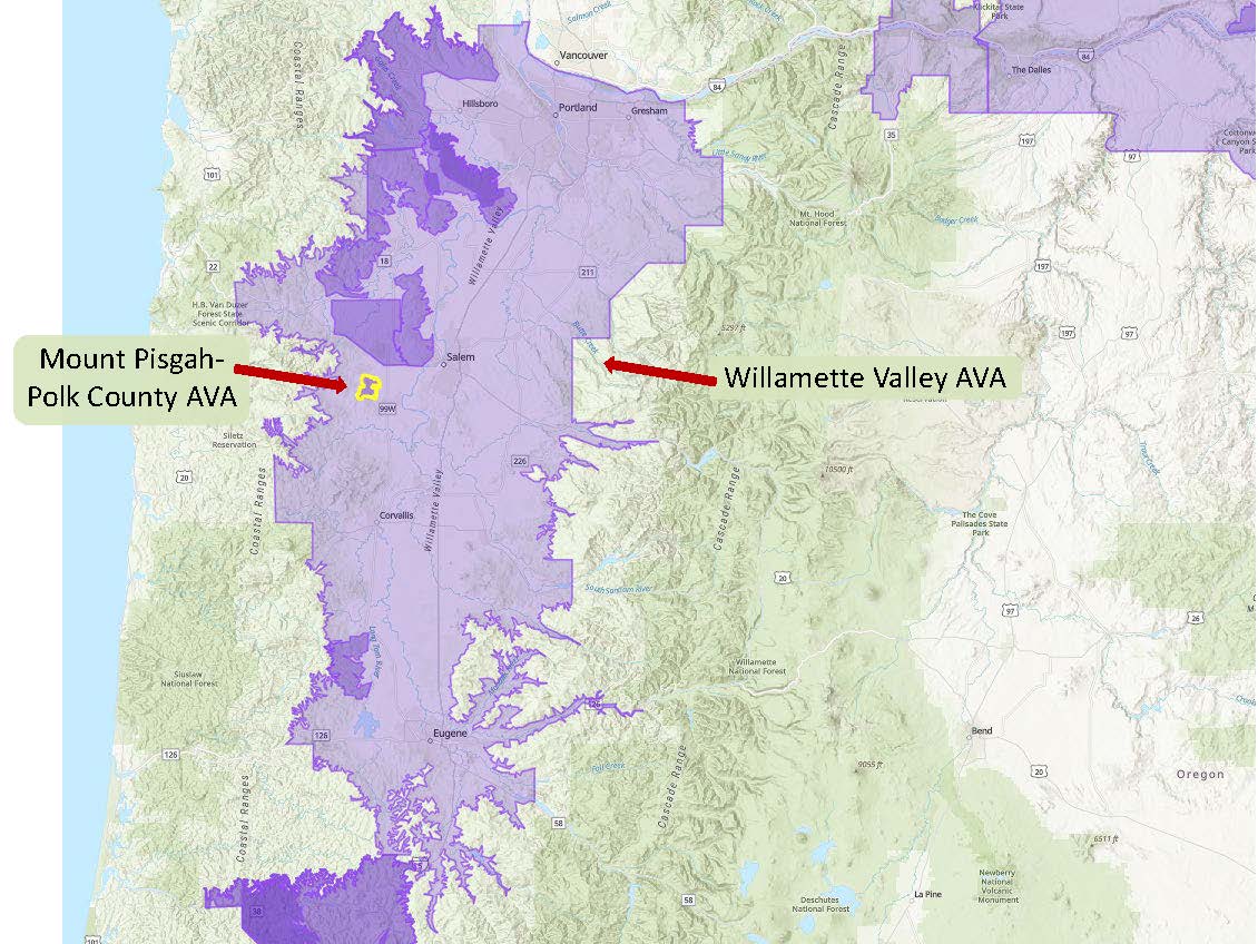
Map via the TTB AVA Explorer
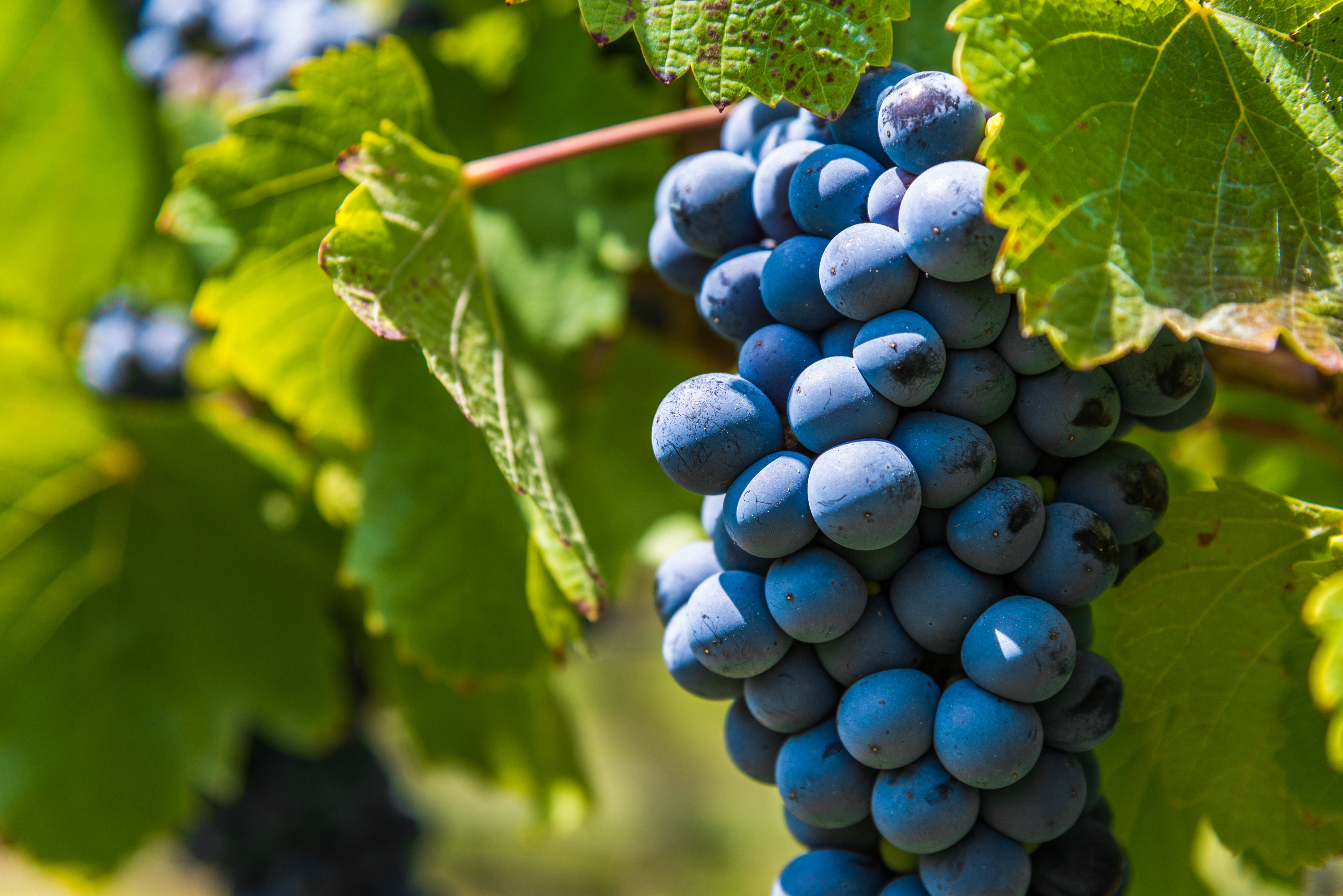
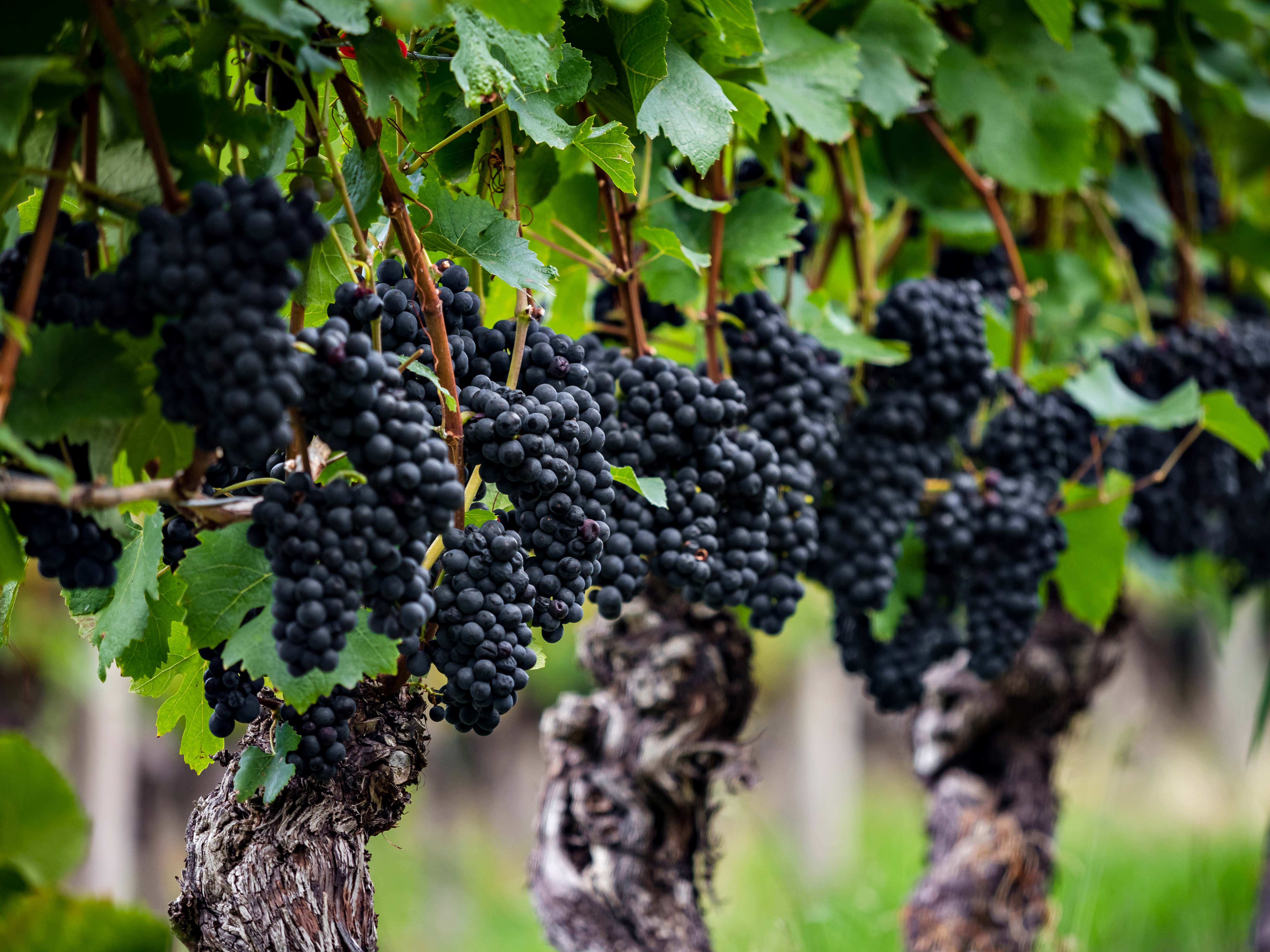
At the time of the original petition, there were 10 commercial vineyards (planted to a total of 531 acres of vines) and 2 wineries—Amelie Robert Estate and Ilahe Vineyards—located within the area of the Mount Pisgah-Polk Count AVA. Pinot Noir, Pinot Gris, and Chardonnay are the leading grape varieties.
Note: The official name of the new AVA reads as follows: Mount Pisgah, Polk County, Oregon AVA. The name includes the name of the county as there are at least three locations in Oregon named Mount Pisgah. As other states also have areas named Mount Pisgah, the term Oregon is also part of the official name of the AVA.
Welcome to the world, Mount Pisgah-Polk County AVA!
On another note: June 3 was a busy day for the TTB, which saw the approval of four new AVAs, including Mount Pisgah. The other three include Rocky Reach (WA), Upper Lake Valley (CA), and Paulsell Valley (CA). When all four of these AVAs are brought into force—on July 5, 2022—the total number of AVAs in the United States will be 266.
References/for more information:
- Federal Register-June 3 2022-Establishment of the Mount Pisgah Polk County Oregon AVA
- Petition to Establish the Mount Pisgah Polk County Oregon AVA
- https://www.amalierobert.com/
- https://www.illahevineyards.com/
Post authored by Jane A. Nickles…your blog administrator: jnickles@societyofwineeducators.org