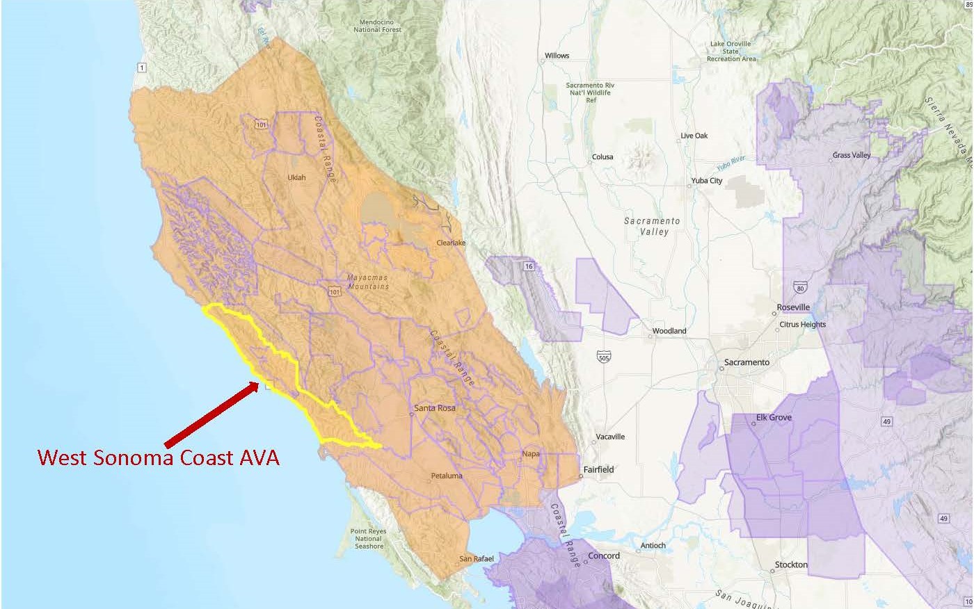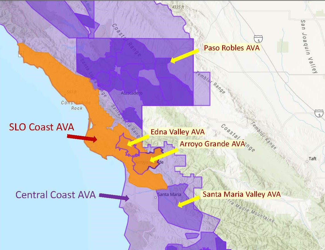
Map via the TTB AVA Explorer
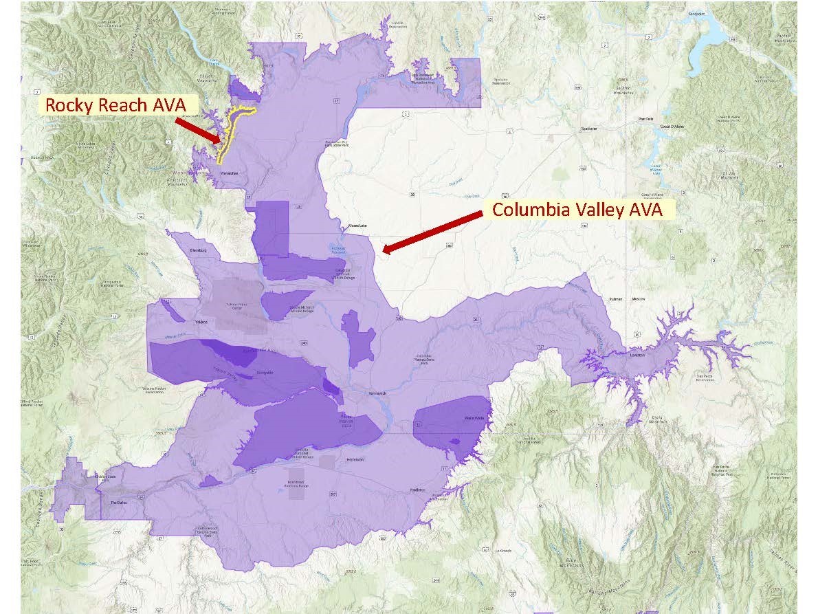
On June 3 (2022) the TTB (Alcohol and Tobacco Tax and Trade Bureau) of the United States announced the approval of the Rocky Reach American Viticultural Area (AVA)., located in portions of Chelan and Douglas Counties in Washington State. The newly minted AVA is located entirely within the existing Columbia Valley AVA and represents the 20th AVA located in Washington State.
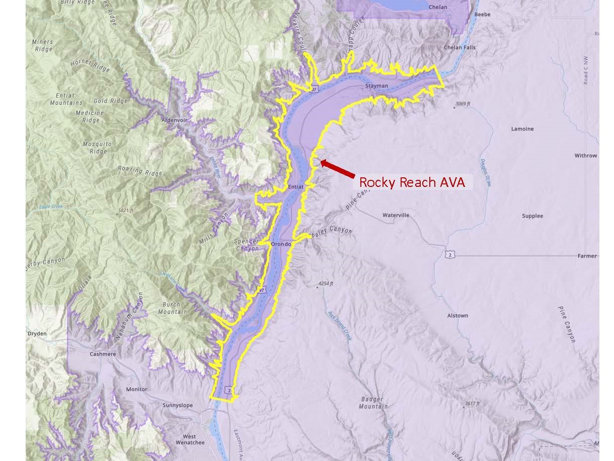
The Rocky Reach AVA covers a long, narrow strip of land that straddles a portion of the Columbia River. This stretch of the Columbia River consists of a deep canyon between two sets of rolling hills (the foothills of the Cascade Mountains to the west and Badger Mountain to the east). The new AVA is situated between the Lake Chelan AVA (located a few miles to the north) and the Ancient Lakes of Columbia Valley AVA (located a few miles to the southeast).
- According to the petition to establish the appellation—originally submitted in 2018 by Kevin Pogue PhD, Professor of Geology at Whitman College—the distinguishing features of the Rocky Reach AVA include its topography, soils, and climate, as described below.
- Topography: The area within the Rocky Reach AVA consists of a deep canyon eroded over time by the rapids of the Columbia River. The prime vineyard areas are located along flat-topped terraces that line either side of the river.
- Soils: Loess (windblown sand and silt) is the leading soil type of the Rocky Reach AVA and other parts of the Columbia Valley. However, unlike the surrounding areas, the soils in the Rocky Reach AVA are topped with gravel and cobblestones. The bedrock of the region is also unique—in the Rocky Reach and Lake Chelan AVAs, the bedrock is silica-rich sedimentary rock. This type of bedrock soil is unique, as most of the surrounding vineyard areas are composed of basalt bedrock.
- Climate: The deep canyon of the Rocky Reach AVA sits at an elevation that is considerably lower than the surrounding areas. As such, the area within the AVA is significantly warmer, resulting in a longer growing season than the surrounding areas.
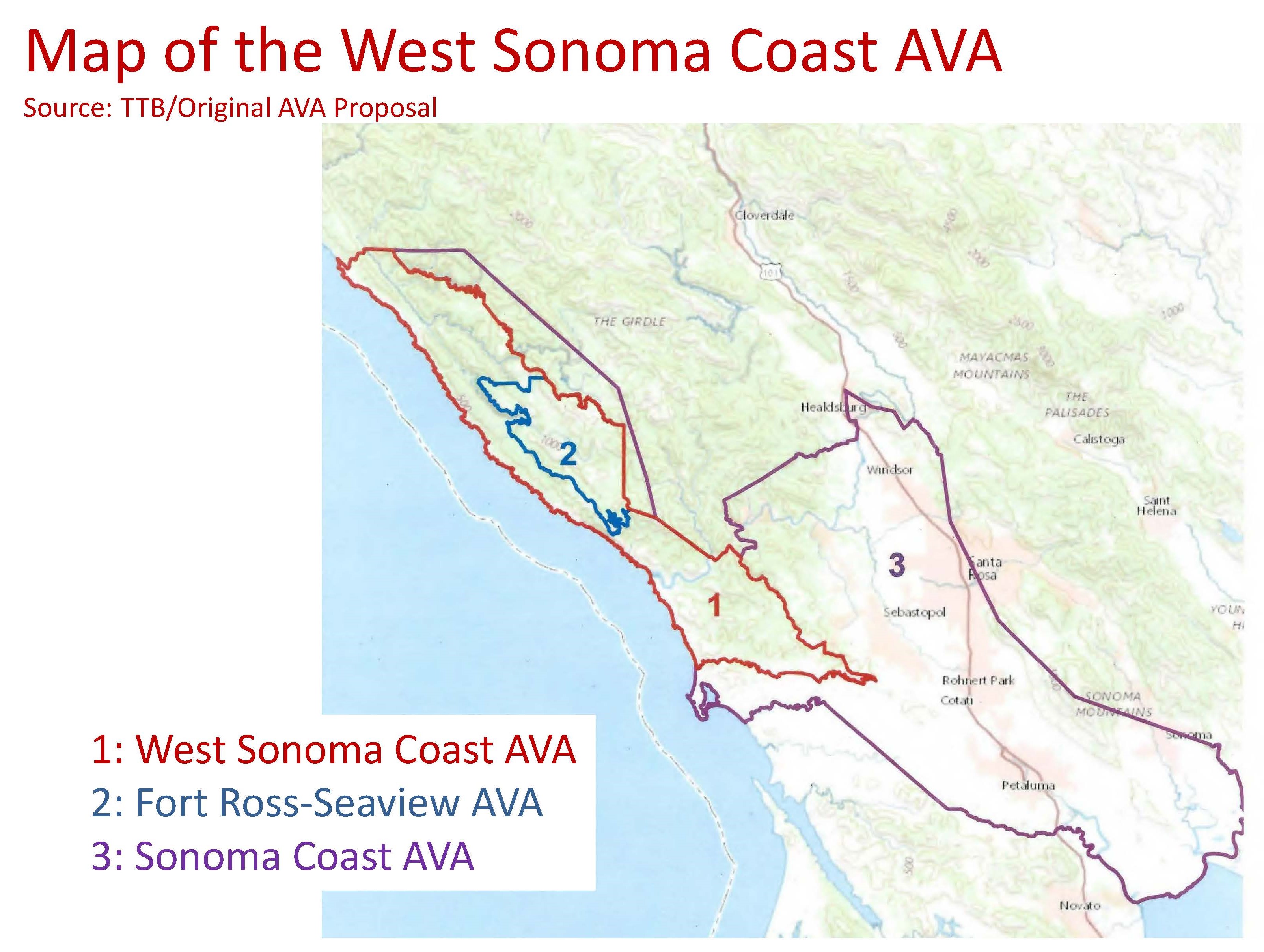
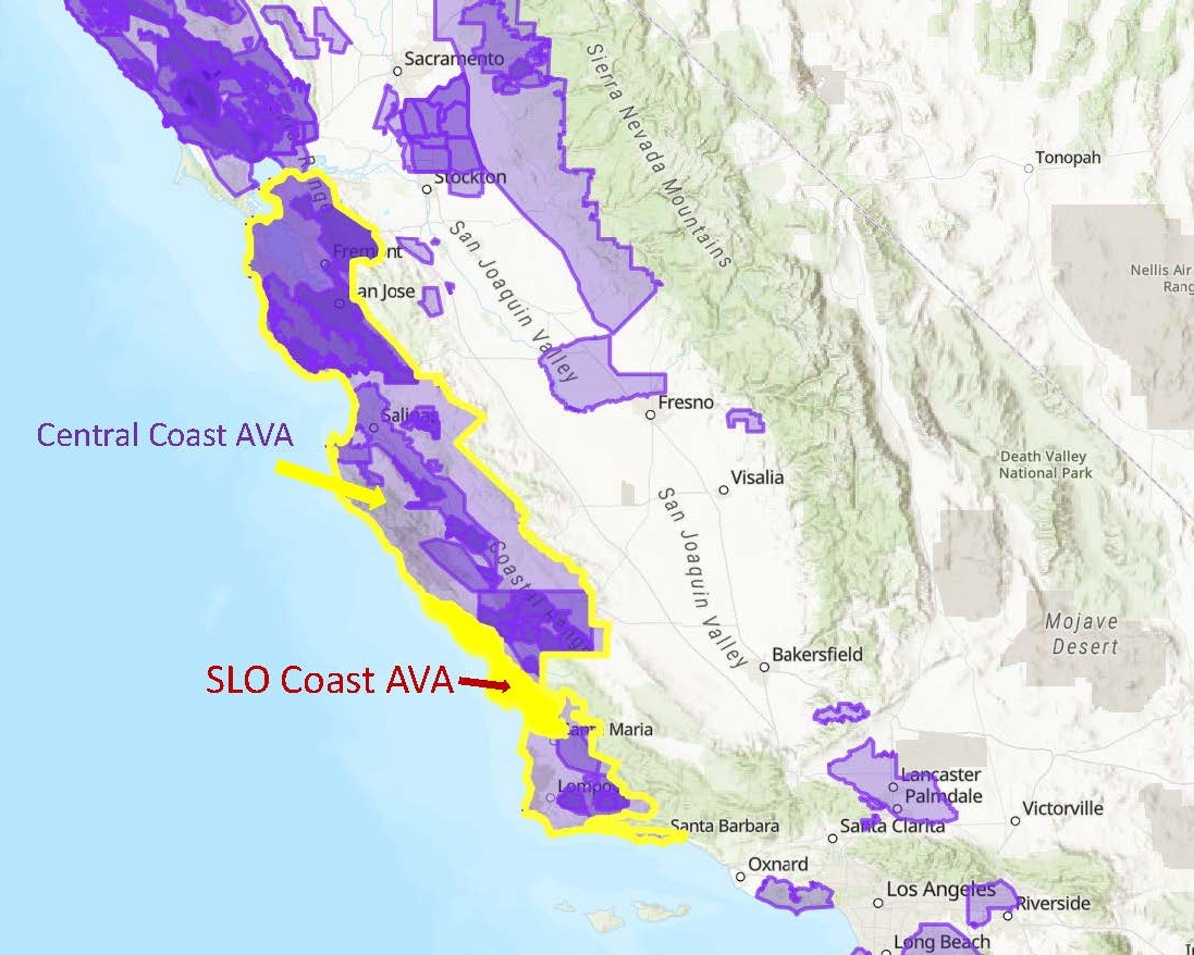
Map via the TTB AVA Explorer
At the time of the proposal, there were 7 commercial vineyards within the area defined by the Rocky Reach AVA with a total of 117 acres planted to vine. Cabernet Sauvignon is the leading grape variety.
The name Rocky Reach has been applied to this section of the Columbia River since the 1800s. In those days, steamboat captains used the term to describe the 8-mile-an-hour rapids that formed certain times of the year. Successful navigation of the rocky reach required staying within the deepest channel of the river to avoid the rocks just beneath the surface of the water.
Note: June 3 was a busy day for the TTB, which saw the approval of four new AVAs, including Rocky Reach. The other three include Upper Lake Valley (Lake County, CA), Mount Pisgah (Polk Country, OR), and Paulsell Valley (Stanislaus County, CA). When all four of these AVAs are brought into force—on July 5, 2022—the total number of AVAs in the United States will be 266.
Welcome to the world, Rocky Reach AVA!
References/for more information:
- Federal Register-June 3 2022-Establishment of the Rocky Reach AVA
- Petition to Establish the Rocky Reach AVA
- Rocky Reach AVA – Washington State Wine Commission (washingtonwine.org)
Post authored by Jane A. Nickles…your blog administrator: jnickles@societyofwineeducators.org